
DRONE-TO-3D PLANNING
Drone imagery becomes a measured 3D model of the village: buildable areas, the INFRABOX layout, distribution zones and feeder lines.
01THE PLATFORM
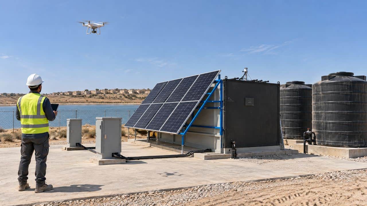
WASTEWATER TREATMENT CORRIDOR
SITE ONLINE
m3 PER HOUR
INFLUENT
117 m3/h
AERATION
98 m3/h
CLARIFIER
96 m3/h
UV
95 m3/h
EFFLUENT
95 m3/h
FLOW, m3 PER HOUR
Drone imagery becomes a measured 3D model of the village: buildable areas, the INFRABOX layout, distribution zones and feeder lines.
From 22 kW setups to 2 MW microgrids: solar, wind and storage with two days of battery autonomy.
Metered connection points through the village for electricity, clean water and wastewater.
Every unit and every meter under one supervisory system: live monitoring, fault alerts, consumption analytics and billing data. Field technicians repair with AR guidance overlaid on the equipment.
02DRONE-TO-3D PLANNING
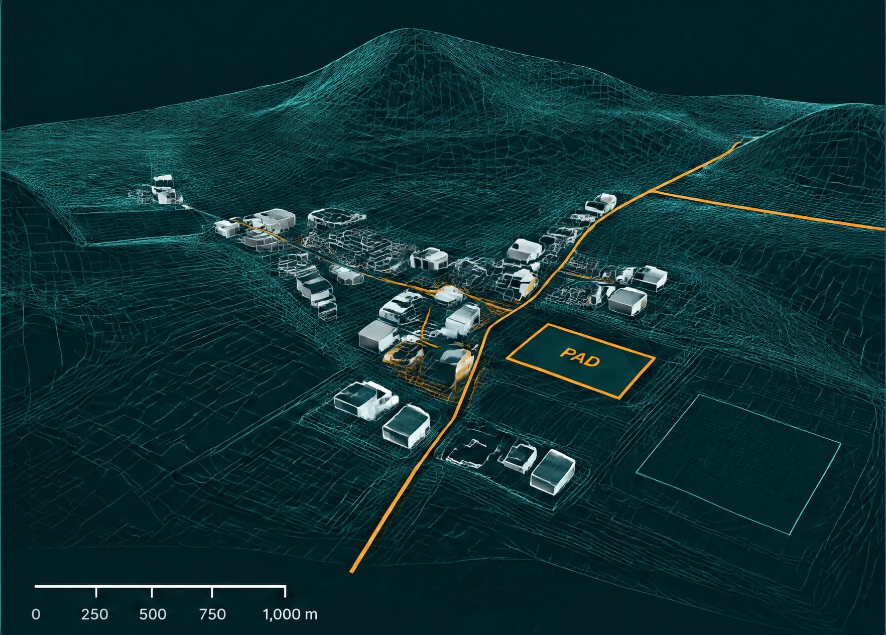
A dedicated software pipeline converts drone imagery into an accurate 3D measured model of each village, and the output is a ready-to-deploy engineering package.
400-1,000400-1,000
VILLAGES PLANNED A YEAR
1 day1 day
FROM SURVEY TO DESIGN PACKAGE
1 km1 km
MAXIMUM NEW GRID OR PIPE
03POWER, WATER AND CONNECTIONS
POWER
WATER
CONNECTIONS
Smart grid management: the pillars are the metered interface between the infrastructure and the people it serves.
04SUPERVISION AND MAINTENANCE
Real-time performance of every unit and meter.
Automated detection and alerting the moment it happens.
Granular usage per connection, per pillar, per village.
A reliable stream for operational control and billing.
Field technicians wear augmented reality tools that show the system as it is.
01 Locate the fault on the physical equipment.
02 Follow step-by-step repair instructions overlaid on it.
03 Confirm the parts and procedures required.
04 Less troubleshooting time, less training, fewer errors.
Scalable maintenance for multi-village deployments, even in remote environments.